Precision Aerial Survey & Intelligent Inspection Systems
axldrone delivers reliable aerial platforms engineered for industrial inspection, infrastructure monitoring, topographic surveying, and engineering assessments.
 Photogrammetric mapping with centimetre-level accuracy
 Access to difficult, hazardous, or elevated inspection zones
 Real-time HD video and data streaming to GCSReal-time HD video and data streaming to GCS
 Autonomous mission-planned area survey coverage

KEY SURVEY & INSPECTION APPLICATIONS

Featured Platforms
Discover advanced drone systems built for real-world challenges, combining intelligent automation, rugged design, and precise data capture to power.
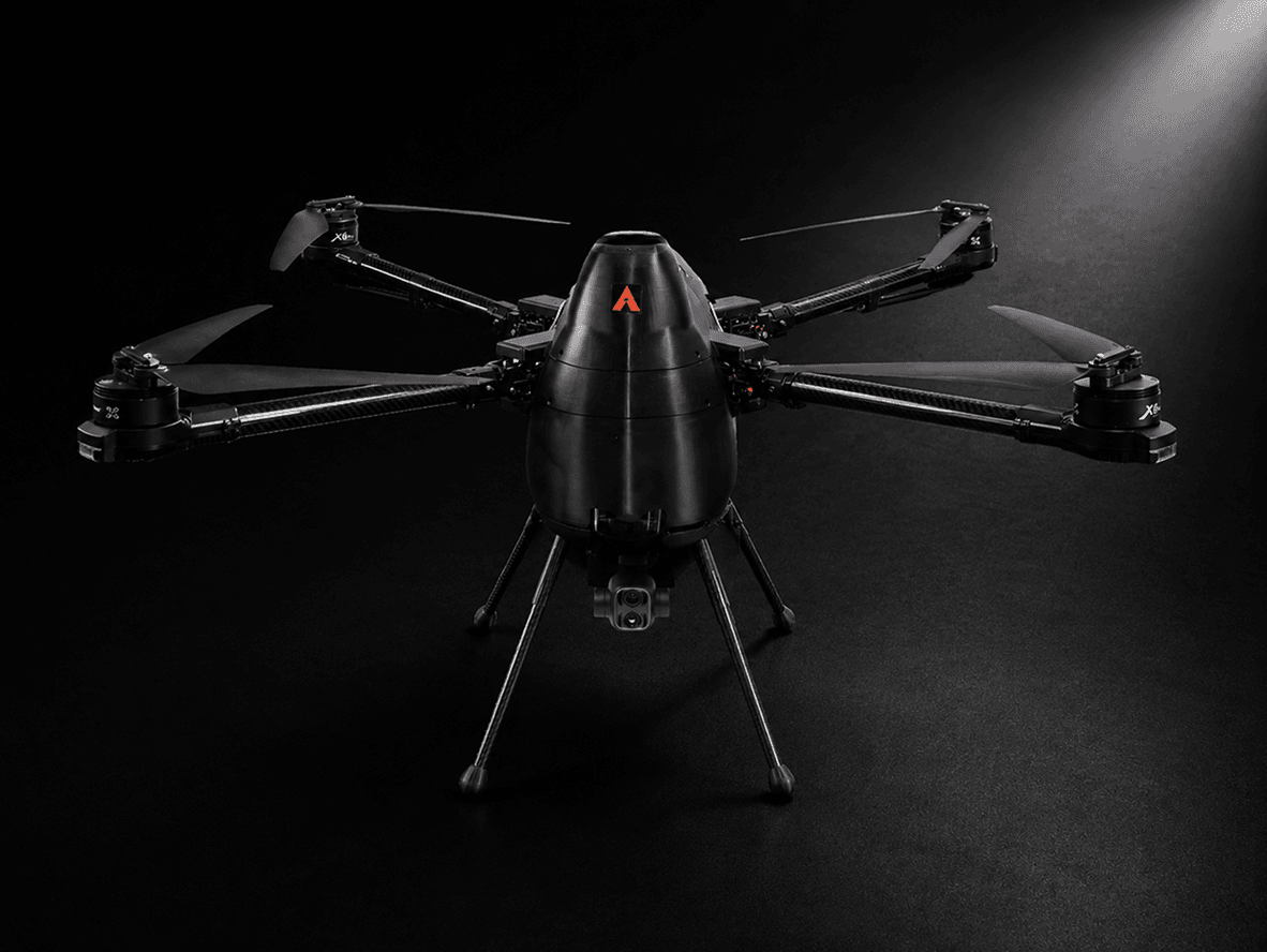
F400
Built for modern agriculture, the F400 drone delivers efficient crop spraying, field monitoring, precision coverage, and reliable large-scale farm operations.
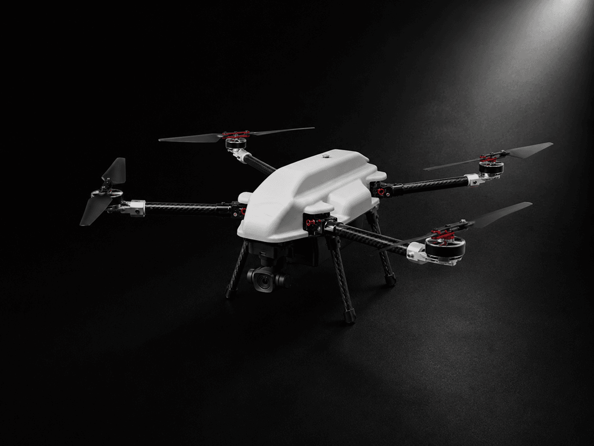
axl Peregrine
The axl Peregrine drone enables smart agricultural surveillance, crop health assessment, precision mapping, and efficient farm management across vast terrains.

Smarter Inspection Starts with Better Visibility
Industrial inspections traditionally require scaffolding, rope access, or physical presence in hazardous zones — increasing risk, time, and cost. Drone-based inspection fundamentally changes this equation.
axldrone platforms enable safe, efficient, and detailed inspection of structures, infrastructure, and terrain without placing personnel in danger. The F400 supports a range of inspection payloads including thermal cameras, zoom lenses, and LiDAR-compatible systems. The axl Peregrine provides fast, portable aerial survey capability for field-based inspection assignments.
Combined with the Aakash GCS platform and the axl Orbit GPS modules, survey-grade positioning precision is achievable for professional mapping applications.
Interesting Reads
Explore expert insights, industry trends, drone innovations, and technology updates through curated articles designed to inform and keep you ahead in drone technology.